|
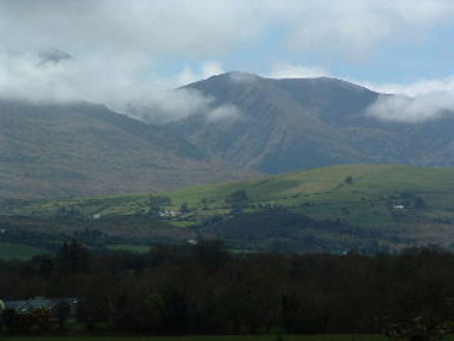
Physical Features The predominant physical feature of the parish is the McGillycuddy Reeks (Na Cruacha Dubha) which with their numerous peaks, many over 3,000 feet, piercing the “wilkin’s rim” overshadowing everything. Those mountains although forming a portion of the vast chain lying west of Killarney Lakes and extending eastwards into Co. Cork. Yet properly from that packed and serrated “mass” which adjoins the western shore of the Upper Lake and encircling Cummeen Dubh (Black Valley). Hence the greater part of the whole range lies within the confines of the Parish and with their accompanying foothills cover a huge area and so our parish although huge in terms of acres is small in population. Those mountains are mostly composed of old red sandstone which is brown, red or purple in colour with perhaps small patches of green or yellow and although very bare of vegetation now, were up the middle of the 17th century covered to a great height with great woods but Sir. William Petty in getting charcoal for his iron works at Blackstones Glencar, led to their total destruction, with no trace of those great pristine forests. The various high peaks as we view them from left to right are:
|
||||||||||||||||||||||||||||
 |
||||||||||||||||||||||||||||
|
Carrantouhill Mountain
All those peaks are over 3,000 feet except the Purple, which is 2780 feet and they with their “footstools” as it were – Tomies, Strikeen, Cnoc Na bhFrachan, Coolroe Mountain and Gulba. When viewed from a distance with the high peaks jutting up above the lower exemplify the lines in Cuirt an Mhean Oidhche. “Ba thaithneamhach aoibhinn suidheamh na sleibhte ag bagairt a gcinn thar dhruim a cheile”. And those mountains are so fickle with there ever – changing appearance, one day delineated with such clear-cut lines against the sky. And at a considerable distance away are covered with a lovely bright blue mantle, while perhaps before the day is out seem to approach nearer and lose their regular shape and adopt a dull brown shape. On other days the tops are covered in a grey fluffy cloak of cloud with the lower parts only to be seen, while on another day still. They are so lost in a dense mass of thick fog that one wonders where they have disappeared. To climb Carrantouhill is a formidable task and maybe done by a few routes:
From the top of the Ladder to the summit is a fairly gradual slope. At the summit is the steel cross erected by our local community in 1979. Tony O’Shea had arranged square pieces of steel, each about six feet long and weighting about one cwt. Six men dragged each piece to the top, a hard task and on the 10th of July 1977, the pieces were bolted together and the Cross was so erected. Mass was celebrated there on 1st August, Celebrant Fr. M. Murphy C.C. A wooden cross-had been erected in 1950 but the great gales up there blew it down and even though it was re-erected, it would not withstand the storm. The whole climb occupies about three hours but it is well worth doing because the view from it is magnificent. Beyond conception, commanding an un-interrupted view of immense extent, stretching beyond the Shannon to the North and to Cape Clear in the South and embracing Tralee Bay, Dingle Bay, Kenmare Bay, Bantry Bay. As some writer wrote: “The way is steep and irksome but not very incommodious, but the soil is richly rewarded by the view, which is impossible to regard without all the higher feelings of our nature being excited. He must have neither heart nor eye to enjoy the wild and higher beauties of creation, who would not be moved by the rare splendour, the unsurpassed glories of such a scene”. Smith in his history of Kerry states that in 17th century herds of fallow deer grazed along the foothills of the Reeks and there were also herds of strong cattle in Coomcaillee attended by herdsmen in summertime and hence the remains of their huts still seen between the two lakes. |